Red Mountains, Neighboring State
I have been moving house, so I have not been very organized with my photos, and have not taken my SLR camera out in many months. The new photo captures have been via my mobile phone, which doesn’t make for amazing photography, but at least I capture some interesting trips via that limited technology from time to time.
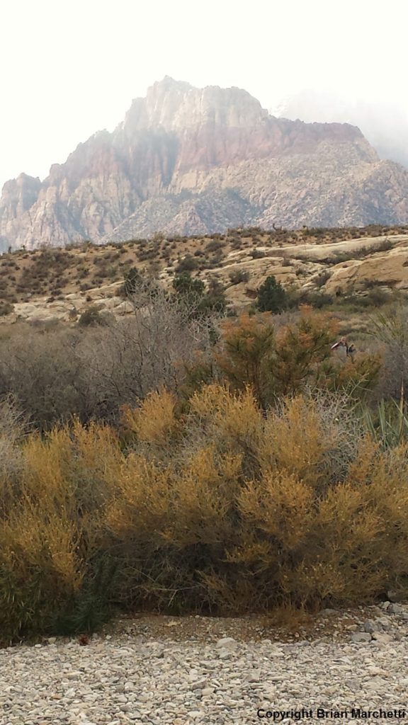
I was visiting a group of friends in Las Vegas, NV, and after Thanksgiving we planned a trip to Red Rock Canyon National Conservation Area, about 15 miles to the west of the Strip. The land climbs and climbs slowly up to this area, where the west leg of the Route 215 loop freeway comes close to the foothills. It is an amazing area, and the mountains are very craggy and unlike most California mountains, outside of Castle Crags outside of Shasta/Weed, and similar places.
Around the Scenic Drive loop, there are a couple of good hikes that we tried. One is the CALICO TANKS hike. Where you park for this hike is not very sheltered and seems to be at a mouth of a larger canyon, so if it is winder there, don’t lose hope and head to the trail. The wind seems to die down once you get on the trail, at least on stormy days with the prevalent wind direction then.
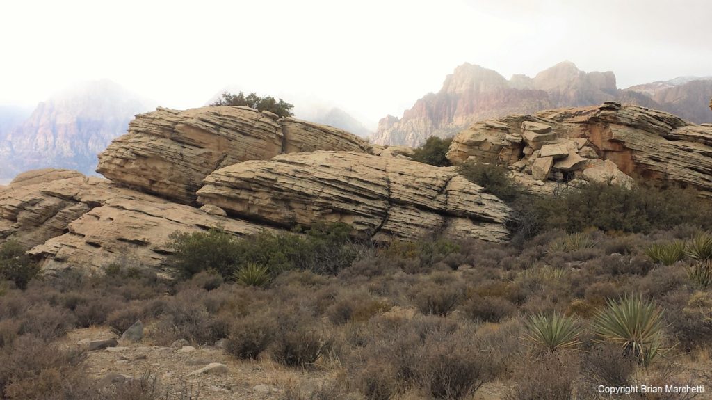
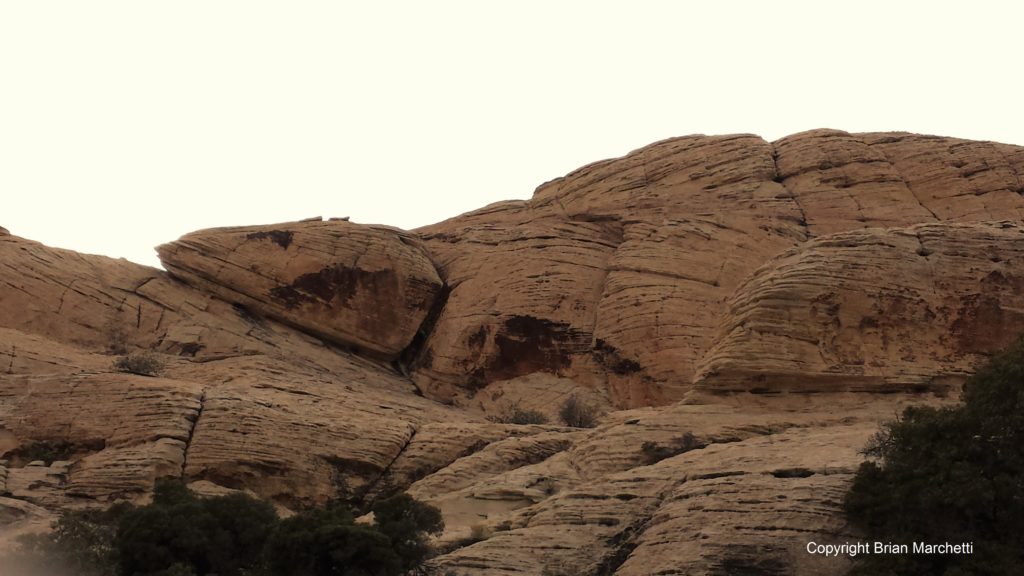
It is a nice journey into a back canyon, with much scrambling up rocky slopes toward the last mile or so. Really great scenery and such great tan and red colors in the rocks, with very obvious divisions between the color layers. 
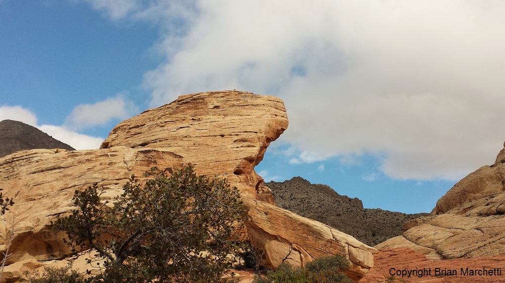
We did go to the end of the Calico Tanks hike, as the ambling over steeper and steeper rock faces required much agility and rain looked imminent. We turned around a mile and a half or so into that route, and another trail branches off from this one, the TURTLEHEAD PEAK trail. This trail is a slow but noticeably higher altitude climb much further into the backcountry. I saw one mountain peak along the way that looked very much like a turtle, but maybe there is another one near the end. Possible?
There are some sizeable mountain peaks in the distance on this hike, and I am not sure how close or how far up the trail goes in this area. We followed it for a couple of miles. Toward the end, very dark clouds were overhead and the wind kicked up again. I thought I saw a few snow flurries out of the corner of my eye, and sure enough, it increased but it was icy snow. The hushed sound of it falling was great.
Will be back to do some more exploring, and try to finish the Turtlehead Peak trail. I highly recommend the overall area for a visit!
Hiking information for the Park can be found here:
https://www.blm.gov/nv/st/en/fo/lvfo/blm_programs/blm_special_areas/red_rock_nca/recreation/hiking.html


